Friday, July 7: We will meet at A.W.Way county park (directions below) at 8:00 a.m. Please do not be late. We will have coffee and pastries, and gear for those who have reserved it.
Saturday, July 8: We will meet at A.W. Way County Park at 8:00 a.m. When you are done diving, bring all gear and data sheets back to the park where we will host a BBQ for all of our volunteers!
Tentative Itinerary (Times are subject to change.)
Thursday, July 6th
12:00PM – Overnight camping becomes available at A. W. Way Park
Friday, July 7th
8:00AM – All Participants meet at A. W. Way; Breakfast and Coffee
8:15AM – 9:00AM Welcome, Introduction, Safety Protocol, Gear Distribution, Shuttle Information
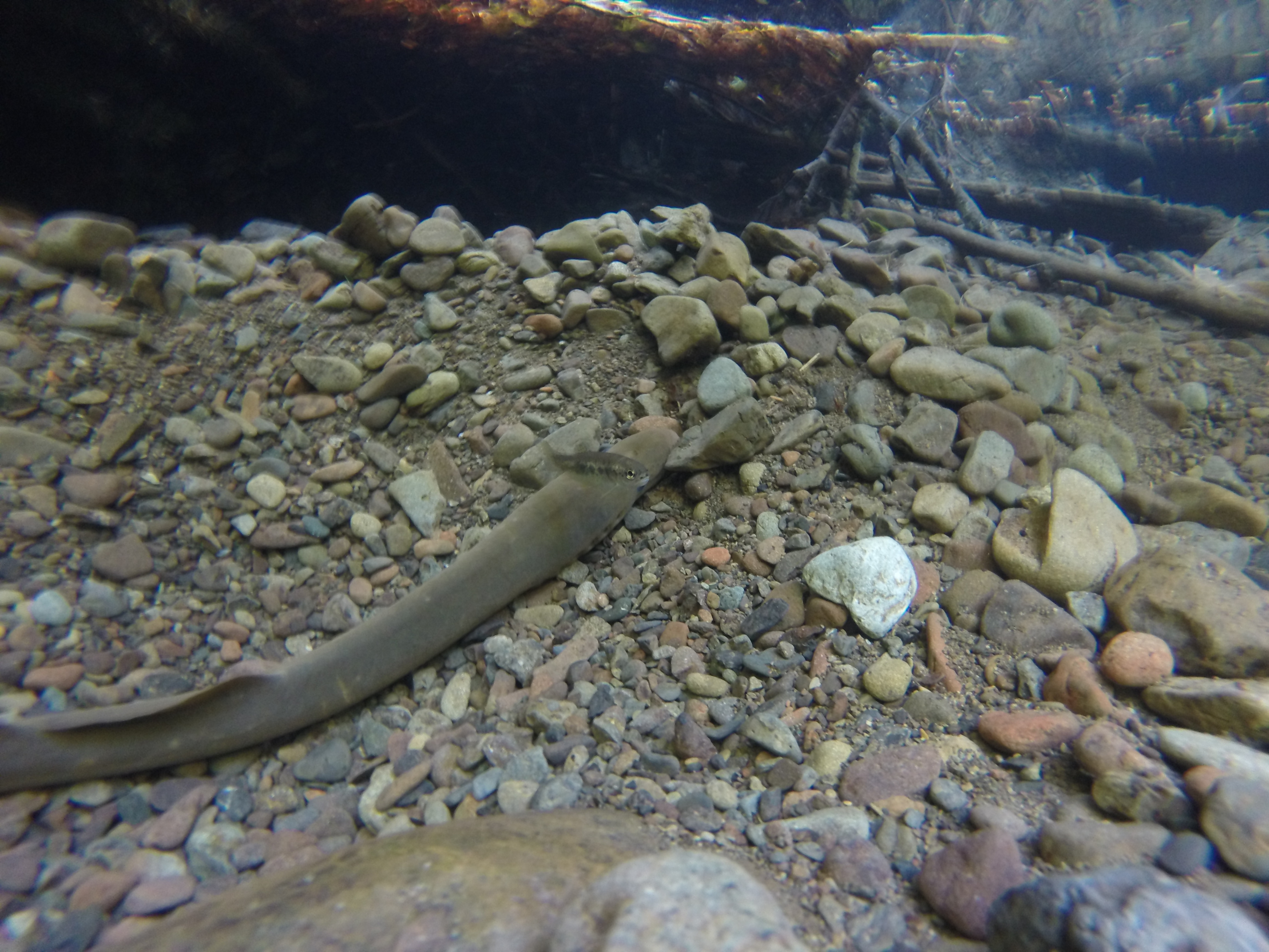
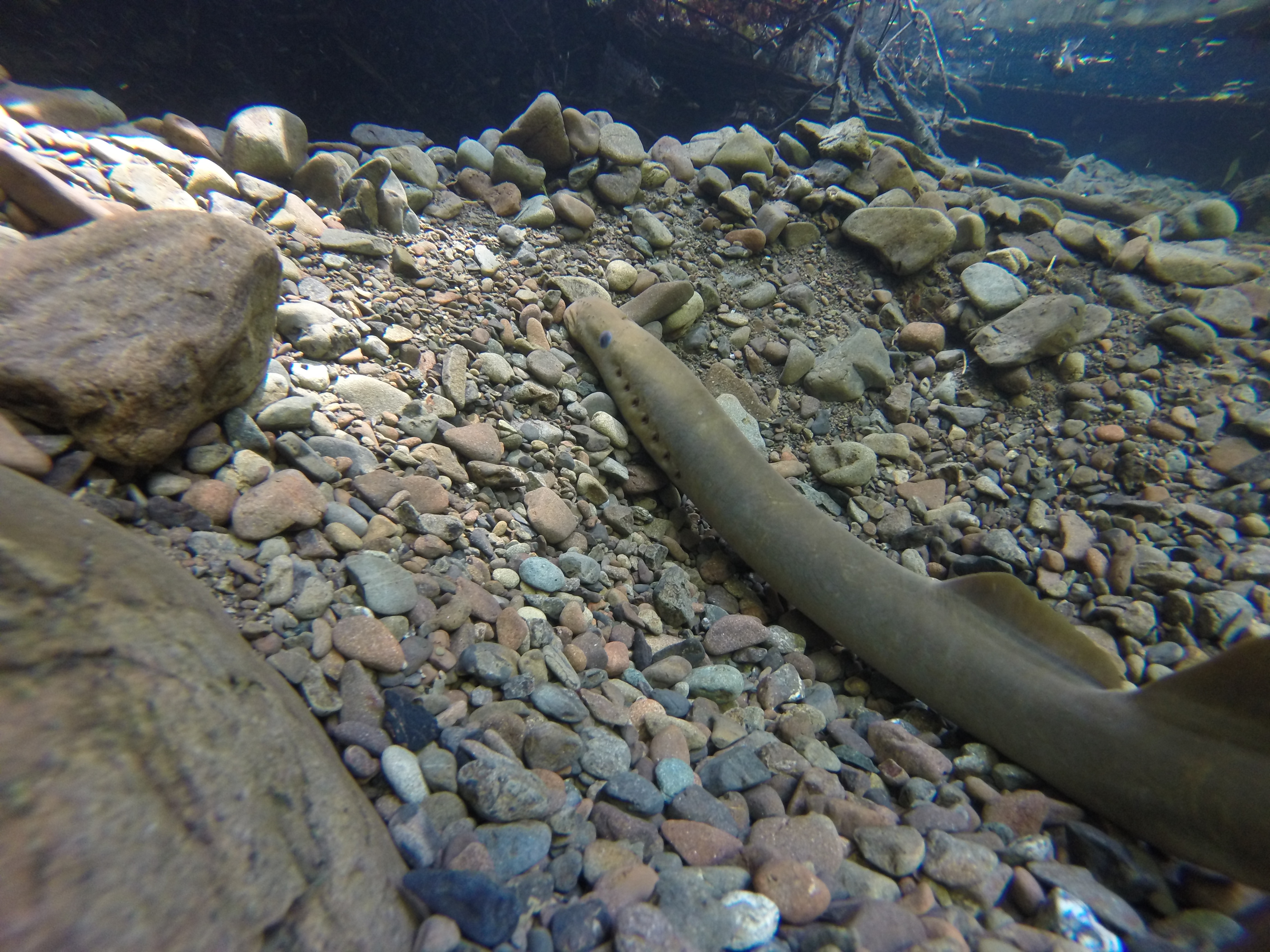
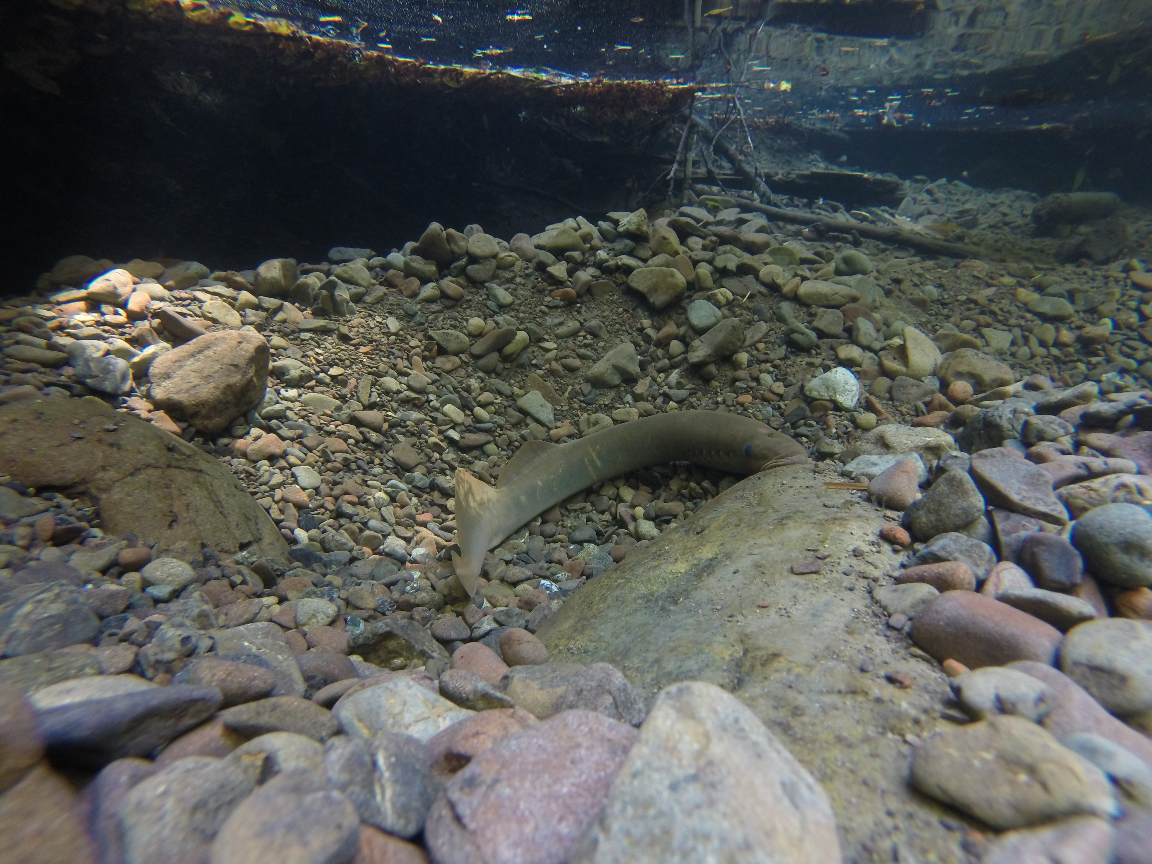
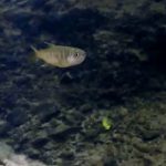
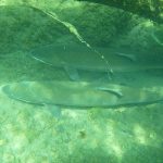
9:00AM-5:00PM Summer Steelhead Dives
5:00PM Meet at A. W. Way to collect data sheets and relax at the camp site
Saturday, July 8th
8:00AM – All Participants meet at A. W. Way; Breakfast and Coffee
8:15AM – 9:00AM Welcome, Introduction, Safety Protocol, Gear Distribution, Shuttle Information
9:00AM-5:00PM Summer Steelhead Dives
5:00PM – Collect Data Sheets, Gear, etc.; BBQ at A. W. Way Park for Summer Steelhead Divers.
Sunday, July 9th
12:00PM – Campsite check-out time, A. W. Way Park
Gear:
Gear Needed:
- Mask and Snorkel
- Dive/Wading Boots
- Hood and gloves for colder, upriver reaches
- Wet Suit
- Dry Bag/Waterproof Container for your lunch (IMPORTANT).
- Small Daypack
Please bring your own gear if you have it! Decontaminate any gear you bring prior to arriving for the Summer Steelhead Dives. The MSG does have limited gear, but it is always at a premium for the SSD due to how many great divers we have every year (THANK YOU!). Our gear will be available on a first come first serve basis depending on when you RSVP and sign up. We will let you know prior to the dives if we cannot accommodate your gear needs. If you have extra gear you would be willing to loan to other divers, PLEASE bring it.
If you do need gear, you need to let us know ahead of time by completing the RSVP questionnaire. Please do not show up and assume we will have gear for you.
There is no pre-dive training this year, but please thoroughly read over our training packet attached before you arrive to the dives.
Camping Logistics:
If you are camping please bring your own gear and cooking supplies. Please bring your own lunches for and Saturday in a waterproof container, dinner for Thursday night, Friday night, and any additional food you may need. A light breakfast is provided each day, but please bring additional food if you need it.
To reduce waste, please bring your own drinking and eating utensils and plates for the BBQ.
First-come first-serve camping is also available at the BLM campground at Mattole Beach.
Fill up your vehicle up with gas prior to the dives in either Garberville, Fortuna, or Eureka. There are general stores with gas and some groceries in Petrolia and Honeydew, but hours and selection are limited – come prepared with food and gas.
Directions to A.W. Way County Park:
Coming from the South: on Hwy 101, take the South Fork/Honeydew exit (22 miles north of Garberville) turn left onto the Mattole road, entering Humboldt Redwoods State Park, after 22 miles you will cross a green spanning bridge over the Mattole, take a right after the bridge and follow the Mattole road for another 8 miles, the park is on your left hand side.
Coming from the North: From Ferndale, turn right onto Bluff street/Ocean Ave and your first left onto Wildcat Ave/Mattole road. Take this for 36 miles, the park will be on your right.
I know it will be an amazing time, thank you all for making our annual dive possible, and look forward to seeing you soon! Please don’t hesitate to email me if you have questions!
Feel free to forward this information to anyone you think may be interested in helping with the Mattole Dives this year!
Mattole Salmon Group